Articles | Volume 26, issue 8
https://doi.org/10.5194/nhess-26-3597-2026
© Author(s) 2026. This work is distributed under
the Creative Commons Attribution 4.0 License.
https://doi.org/10.5194/nhess-26-3597-2026
© Author(s) 2026. This work is distributed under
the Creative Commons Attribution 4.0 License.
Basin-scale geometric focusing: a probabilistic-geometric framework for global tsunami exposure assessment and the 2025 Kamchatka Peninsula tsunami
Ali Abdolali
CORRESPONDING AUTHOR
USACE Engineer Research and Development Center, Coastal and Hydraulics Laboratory, Vicksburg, MS, USA
Michael-Angelo Y.-H. Lam
USACE Engineer Research and Development Center, Coastal and Hydraulics Laboratory, Vicksburg, MS, USA
Usama Kadri
School of Mathematics, Cardiff University, CF24 4AG, Cardiff, UK
Matt Malej
USACE Engineer Research and Development Center, Coastal and Hydraulics Laboratory, Vicksburg, MS, USA
Maxim Filimonov
School of Computer Science and Informatics, Cardiff University, CF24 4AG, Cardiff, UK
Fengyan Shi
Center for Applied Coastal Research, Department of Civil, Construction and Environmental Engineering, University of Delaware, Newark, DE 19716, USA
Related authors
Xianghui Dong, Qingxiang Liu, Stefan Zieger, Alberto Alberello, Ali Abdolali, Jian Sun, Kejian Wu, and Alexander V. Babanin
Geosci. Model Dev., 18, 5801–5823, https://doi.org/10.5194/gmd-18-5801-2025, https://doi.org/10.5194/gmd-18-5801-2025, 2025
Short summary
Short summary
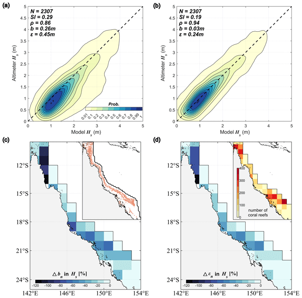
Ocean surface wave research is vital for coastal management, marine ecology, and ocean engineering. This study simulates waves along the Australian coast using advanced physical and numerical schemes. Model verification with altimeter and buoy data shows good performance. A two-step parameterization improves accuracy in the complex Great Barrier Reef. This study will help us better understand coastal wave climates and assess sea states, enabling us to better develop, protect, and use the sea.
Usama Kadri, Ali Abdolali, and Maxim Filimonov
Geosci. Model Dev., 18, 3487–3507, https://doi.org/10.5194/gmd-18-3487-2025, https://doi.org/10.5194/gmd-18-3487-2025, 2025
Short summary
Short summary
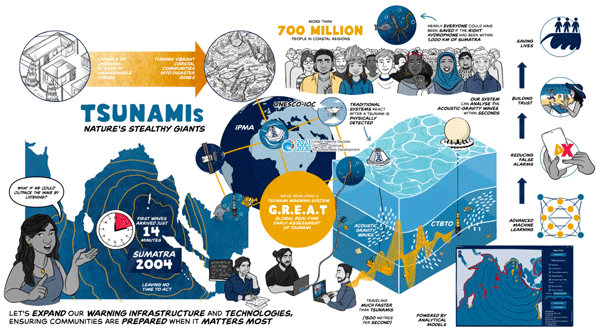
The GREAT v1.0 software introduces a novel tsunami warning technology for global real-time analysis. It leverages acoustic signals generated by tsunamis, which propagate faster than the tsunami itself, enabling real-time detection and assessment. Integrating various models, the software provides reliable and rapid assessment, maps risk areas, and estimates tsunami amplitude. This advancement reduces false alarms and enhances global tsunami warning systems' accuracy and efficiency.
Xianghui Dong, Qingxiang Liu, Stefan Zieger, Alberto Alberello, Ali Abdolali, Jian Sun, Kejian Wu, and Alexander V. Babanin
Geosci. Model Dev., 18, 5801–5823, https://doi.org/10.5194/gmd-18-5801-2025, https://doi.org/10.5194/gmd-18-5801-2025, 2025
Short summary
Short summary
Ocean surface wave research is vital for coastal management, marine ecology, and ocean engineering. This study simulates waves along the Australian coast using advanced physical and numerical schemes. Model verification with altimeter and buoy data shows good performance. A two-step parameterization improves accuracy in the complex Great Barrier Reef. This study will help us better understand coastal wave climates and assess sea states, enabling us to better develop, protect, and use the sea.
Usama Kadri, Ali Abdolali, and Maxim Filimonov
Geosci. Model Dev., 18, 3487–3507, https://doi.org/10.5194/gmd-18-3487-2025, https://doi.org/10.5194/gmd-18-3487-2025, 2025
Short summary
Short summary
The GREAT v1.0 software introduces a novel tsunami warning technology for global real-time analysis. It leverages acoustic signals generated by tsunamis, which propagate faster than the tsunami itself, enabling real-time detection and assessment. Integrating various models, the software provides reliable and rapid assessment, maps risk areas, and estimates tsunami amplitude. This advancement reduces false alarms and enhances global tsunami warning systems' accuracy and efficiency.
Young-Kwang Choi, Fengyan Shi, Matt Malej, Jane M. Smith, James T. Kirby, and Stephan T. Grilli
Geosci. Model Dev., 15, 5441–5459, https://doi.org/10.5194/gmd-15-5441-2022, https://doi.org/10.5194/gmd-15-5441-2022, 2022
Short summary
Short summary
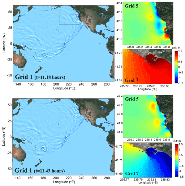
The multi-grid-nesting technique is an important methodology used for modeling transoceanic tsunamis and coastal effects. In this study, we developed a two-way nesting interface in a multi-grid-nesting system for the Boussinesq wave model FUNWAVE-TVD. The interface acts as a
backboneof the nesting framework, handling data input, output, time sequencing, and internal interactions between grids at different scales.
Cited articles
Abdolali, A.: Okeanos ray, Zenodo [code], https://doi.org/10.5281/zenodo.21461088, 2026. a
Abdolali, A. and Kirby, J. T.: Role of Compressibility on Tsunami Propagation, J. Geophys. Res.-Oceans, 122, 9780–9794, https://doi.org/10.1002/2017JC013054, 2017. a
Abdolali, A. and Kadri, U.: Phase Speed Modification Across Infragravity to Tidal Bands in a Compressible Ocean over Stratified Elastic Earth with Gravitational Terms, J. Fluid Mech., in review, 2026. a
Abdolali, A., Kadri, U., and Kirby, J. T.: Effect of Water Compressibility, Sea-floor Elasticity, and Field Gravitational Potential on Tsunami Phase Speed, Scientific reports, 9, 16874, https://doi.org/10.1038/s41598-019-52475-0, 2019. a, b, c
Allen, T. I. and Hayes, G. P.: Alternative Rupture‐Scaling Relationships for Subduction Interface and Other Offshore Environments, B. Seismol. Soc. Am., 107, 1240–1253, https://doi.org/10.1785/0120160255, 2017. a, b
Behrens, J., Løvholt, F., Jalayer, F., et al.: Probabilistic tsunami hazard and risk analysis: A review of research gaps, Frontiers in Earth Science, 9, 628772, https://doi.org/10.3389/feart.2021.628772, 2021. a
Blaser, L., Krüger, F., Ohrnberger, M., and Scherbaum, F.: Scaling Relations of Earthquake Source Parameter Estimates with Special Focus on Subduction Environment, B. Seismol. Soc. Am., 100, 2914–2926, https://doi.org/10.1785/0120100111, 2010. a
Davies, G., Griffin, J., Løvholt, F., Glimsdal, S., Harbitz, C., Thio, H. K., Lorito, S., Basili, R., Selva, J., Geist, E., and Baptista, M. A.: A global probabilistic tsunami hazard assessment from earthquake sources, Geological Society, London, Special Publications, 456, 219–244, https://doi.org/10.1144/SP456.5, 2018. a, b
Frohlich, C. and Davis, S. D.: Teleseismic b values; Or, much ado about 1.0, J. Geophys. Res.-Sol. Ea., 98, 631–644, https://doi.org/10.1029/92JB01891, 1993. a
GEBCO Bathymetric Compilation Group 2025: The GEBCO_2025 Grid: a continuous terrain model for oceans and land at 15 arc-second intervals, NERC EDS British Oceanographic Data Centre NOC [data set], https://doi.org/10.5285/37c52e96-24ea-67ce-e063-7086abc05f29, 2025. a, b
Geophysical Data Center/World Data Service (NGDC/WDS): NCEI/WDS Global Significant Earthquake Database, NOAA National Centers for Environmental Information, https://doi.org/10.7289/V5TD9V7K, 2024. a, b, c
Grezio, A., Babeyko, A., Baptista, M. A., Behrens, J., Costa, A., Davies, G., Geist, E. L., Glimsdal, S., González, F. I., Griffin, J., Harbitz, C. B., LeVeque, R. J., Lorito, S., Løvholt, F., Omira, R., Mueller, C., Paris, R., Parsons, T., Polet, J., Power, W., Selva, J., Sørensen, M. B., and Thio, H. K.: Probabilistic Tsunami Hazard Analysis: Multiple Sources and Global Applications, Rev. Geophys., 55, 1158–1198, https://doi.org/10.1002/2017RG000579, 2017. a, b
Halsne, T., Christensen, K. H., Hope, G., and Breivik, Ø.: Ocean wave tracing v.1: a numerical solver of the wave ray equations for ocean waves on variable currents at arbitrary depths, Geosci. Model Dev., 16, 6515–6530, https://doi.org/10.5194/gmd-16-6515-2023, 2023. a
Harbitz, C. B., Løvholt, F., and Bungum, H.: Submarine landslide tsunamis: how extreme and how likely?, Nat. Hazards, 72, 1341–1374, https://doi.org/10.1007/s11069-013-0681-3, 2014. a
Hayes, G. P.: The finite, kinematic rupture properties of great-sized earthquakes since 1990, Earth Planet. Sc. Lett., 468, 94–100, https://doi.org/10.1016/j.epsl.2017.04.003, 2017. a
Kadri, U., Abdolali, A., and Filimonov, M.: GREAT v1.0: Global Real-time Early Assessment of Tsunamis, Geosci. Model Dev., 18, 3487–3507, https://doi.org/10.5194/gmd-18-3487-2025, 2025. a
Kirby, J. T., Shi, F., Tehranirad, B., Harris, J. C., and Grilli, S. T.: Dispersive tsunami waves in the ocean: Model equations and sensitivity to dispersion and Coriolis effects, Ocean Model., 62, 39–55, https://doi.org/10.1016/j.ocemod.2012.11.009, 2013. a, b, c
NOAA: Tsunami Historical Series: Kamchatka, Russia – 2025, https://sos.noaa.gov/catalog/datasets/tsunami-historical-series-kamchatka-russia-2025/ (last access: 3 December 2025), 2025a. a
NOAA: 29 July 2025, Mw 8.8, Kamchatka Peninsula, Russia Tsunami, https://www.weather.gov/itic-car/29july2025_kamtchatka_tsunami (last access: 3 December 2025), 2025b. a
Okada, Y.: Surface deformation due to shear and tensile faults in a half-space, B. Seismol. Soc. Am., 75, 1135–1154, 1985. a
Sannikova, N. K., Segur, H., and Arcas, D.: Influence of Tsunami Aspect Ratio on Near and Far-Field Tsunami Amplitude, Geosciences, 11, 178, https://doi.org/10.3390/geosciences11040178, 2021. a
Satake, K.: Effects of bathymetry on tsunami propagation: Application of ray tracing to tsunamis, Pure Appl. Geophys., 126, 27–36, https://doi.org/10.1007/BF00876912, 1988. a
Satake, K. (Ed.): Tsunamis: Case studies and recent developments, Springer, Dordrecht, https://doi.org/10.1007/1-4020-3331-1, 2005. a
Scourse, E. M., Chapman, N. A., Tappin, D. R., and Wallis, S. R. (Eds.): Tsunamis: Geology, Hazards and Risks, in: Geological Society, London, Special Publications, Geological Society of London, London, UK, 456 https://doi.org/10.1144/SP456, ISBN 9781786203182, 2018. a, b
Tehranirad, B., Shi, F., Kirby, J. T., Harris, J. C., and Grilli, S.: Tsunami benchmark results for fully nonlinear Boussinesq wave model FUNWAVE-TVD, Version 1.0, Center for Applied Coastal Research, University of Delaware, Tech. Rep, 2011. a
Tehranirad, B., Harris, J. C., Grilli, A. R., Grilli, S. T., Abadie, S., Kirby, J. T., and Shi, F.: Far-Field Tsunami Impact in the North Atlantic Basin from Large Scale Flank Collapses of the Cumbre Vieja Volcano, La Palma, Pure Appl. Geophys., 172, 3589–3616, https://doi.org/10.1007/s00024-015-1135-5, 2015. a
Titov, V. V., González, F. I., Bernard, E. N., Eble, M. C., Mofjeld, H. O., Newman, J. C., and Venturato, A. J.: A new tool for real-time tsunami forecasting, Nat Hazards, 35, 35–41, https://doi.org/10.1007/s11069-004-2403-3, 2005. a
USGS: M 8.8 – 2025 Kamchatka Peninsula, Russia Earthquake, https://web.archive.org/web/20250730010514/https://earthquake.usgs.gov/earthquakes/eventpage/us6000qw60/executive (last access: 30 July 2025), 2025. a
Woessner, J. and Wiemer, S.: Assessing the Quality of Earthquake Catalogues: Estimating the Magnitude of Completeness and Its Uncertainty, B. Seismol. Soc. Am., 95, 684–698, https://doi.org/10.1785/0120040007, 2005. a

Short summary
This study introduces a hybrid tsunami risk method that fuses probabilistic hazard assessment with ray tracing to enable rapid global mapping. Using historical tsunamigenic earthquake statistics, it identifies how bathymetry focuses wave energy into convergence hotspots. Validated with the 2025 M8.8 Kamchatka and 2011 M9.0 Tohoku events, high-fidelity Boussinesq outputs showed strong observational skill, offering a robust basis for quick hazard evaluation and coastal resilience planning.
This study introduces a hybrid tsunami risk method that fuses probabilistic hazard assessment...
Altmetrics
Final-revised paper
Preprint